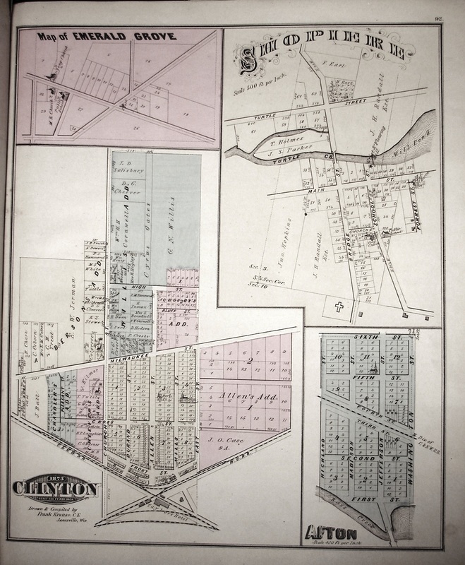
Images of the 1873 Rock County, Wisconsin Plat Map
SOURCE INFORMATION
Combination Atlas Map of Rock County, Wisconsin, compiled, drawn and published from personal examination and surveys by Everts, Baskin & Stewart, Chicago, IL, 1873, (Copyright by RCGS, 2010).
Combination Atlas Map of Rock County, Wisconsin, compiled, drawn and published from personal examination and surveys by Everts, Baskin & Stewart, Chicago, IL, 1873, (Copyright by RCGS, 2010).
